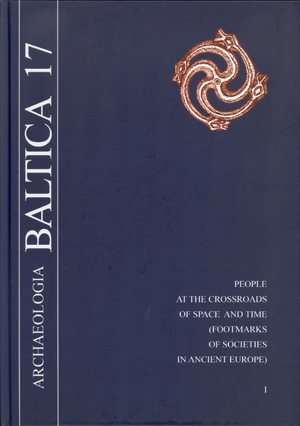
Journal:Archaeologia Baltica
Volume 17 (2012): People at the Crossroads of Space and Time (Footmarks of Societies in Ancient Europe) I, pp. 34–42
Abstract
The Grobiņa archaeological complex includes multiple Curonian and Scandinavian first millennium burial sites, dwellings and hill-forts. Until now, more extensive research has been carried out on the Scandinavian barrow and flat burial fields, and on a small scale on the Curonian burial grounds; but less attention has been paid to examining dwellings. Excavation materials have only been partly publicised. During the latest research, the habitation period of the hill-fort has been determined, and the dwelling areas on both banks of the River Ālande have been determined and specified. Multiple issues have been overviewed in relation to Grobiņa archaeological site complex: the population in the Grobiņa region during the middle and latter part of the first millennium; and the interaction between Curonian and Scandinavian cultures.
Journal:Archaeologia Baltica
Volume 17 (2012): People at the Crossroads of Space and Time (Footmarks of Societies in Ancient Europe) I, pp. 46–59
Abstract
The article describes a newly found deposit of natural amber in Estonia. The deposit was discovered in the village of Vintri on the Sõrve peninsula, on the island of Saaremaa. It is the first time when the site has been fixed and documented; the find site has been fixed and documented. All earlier literature on the natural sciences and archaeology claims that natural amber is not found in Estonia, or is only found occasionally as marginal stray finds. The article describes the newly discovered deposit of natural amber, and also refers to other possible find sites that are known, mainly based on oral information. The Vintri deposit is dated according to two different methods, and the article explains both results. The article gives an overview of archaeological amber finds in Saaremaa at the time, and discusses their possible origin and use.
Journal:Archaeologia Baltica
Volume 17 (2012): People at the Crossroads of Space and Time (Footmarks of Societies in Ancient Europe) I, pp. 60–76
Abstract
This paper presents the Elbląg group at its peak, that is, the late sixth and early seventh centuries. Imports are presented, namely Scandinavian (but also Merovingian) denominators of opulence (drinking horns, particular imported goods, seaxes in ornamental scabbards, and so on), and also the possible grounds on which local settlers thrived (the amber trade, maybe also the salt trade). The geostrategic position of the Elbląg group is analysed, as well as sea trade routes and boats used on the Baltic Sea during the Late Migration Period. Contacts between southern Scandinavia and the Elbląg group are described against the wider cultural and political background.
Journal:Archaeologia Baltica
Volume 17 (2012): People at the Crossroads of Space and Time (Footmarks of Societies in Ancient Europe) I, pp. 80–90
Abstract
Important but up to now more or less unsolved questions of early Medieval archaeology focus on the date and the process of Slavonisation in the southwest Baltic area. The state of knowledge in various regions of northeast Germany and Poland lead to partly different research reviews, which in some cases even expressed opposing opinions. There are only a few absolute dates available indicating that the beginning of the Slavonic settlement can be dated to the late seventh and early eighth centuries, but how this process of slavonisation can be explained is still unknown. Did a new Slavonic community migrate into a devastated landscape, or was there a change of identity into a Slavonic way of life connected with continuous Germanic settlement? New interdisciplinary investigations of late Germanic and the earliest Slavonic settlements in northwest Poland focus on these questions. The aim of the research project is to obtain new references for continuities or discontinuities in the history of the settlement and the use of the landscape in the area of Pyrzyce, Western Pomerania, to explain processes of change from the sixth to the eighth century
Journal:Archaeologia Baltica
Volume 17 (2012): People at the Crossroads of Space and Time (Footmarks of Societies in Ancient Europe) I, pp. 91–100
Abstract
The article gives a brief overview of recent achievements in the study of Djakovo-type sites located in the Moskva river basin. The chronological time frames are from the eighth to seventh centuries BC to the sixth to seventh centuries AD. The most important inferences are based on the results of the excavations of the Djakovo hill-fort carried out from 1981 to 1987. The abundant finds correspond well to the radiocarbon dates. Two peaks of human activity at Djakovo-type sites occurred in the fifth to the third centuries BC and the first to the fourth centuries AD. Agriculture and cattle breeding formed the economic basis. Bronze ornaments and clay cult artefacts prove the idea that the population of the Moskva river basin had a tribal identity in the first half of the first millennium AD.
Journal:Archaeologia Baltica
Volume 17 (2012): People at the Crossroads of Space and Time (Footmarks of Societies in Ancient Europe) I, pp. 101–135
Abstract
Hill-forts are visually distinct archaeological monuments of the Lithuanian landscape; despite excavations that have recently become more intensive, more often than not we still make judgments of hill-forts on the basis of their surviving image, which is assumed to reflect the final stage of their existence. Usually our knowledge about the size of the settlement at its foot, its planigraphy, and of course chronology, is too slender to make any conclusions. By employing complex non-destructive research methods (palynological, geochemical, lithological and geomagnetic analysis, as well as 14C and thermoluminescence dating), the article discusses the time of the rise and the abandonment of Skomantai hill-fort and settlements, the hierarchical relations with the hill-fort as an object forming the settlement structure of the neighbouring area, both settlements at the foot of the hill, and the surrounding burial grounds and monuments, all of which make up a micro-region. As the economic model of the community and the social structure of society changed, the relations between the hill-fort and the settlements changed, as did the purpose of the hill-fort.
Journal:Archaeologia Baltica
Volume 17 (2012): People at the Crossroads of Space and Time (Footmarks of Societies in Ancient Europe) I, pp. 136–151
Abstract
This article presents an analysis of the spatial structure and the chronological development of Opstainis, Vilkyškiai Iron-Age hill-fort settlement, on the basis of archaeological and geomagnetic survey data. It has been ascertained that the hill-fort and the settlement were inhabited throughout the first millennium AD. The currently available scientific research data from Opstainis, Vilkyškiai Iron-Age hill-fort and settlement (half-sunken building or pit houses, oval-shaped and pear-shaped flatbottom household pits, and shards of handmade pottery decorated with cross-shaped imprint ornaments) serve as indications of contacts between the inhabitants of the lower reaches of the River Nemunas and the southwest Baltic Sea region in the second half of the first millennium AD.